Join Our Mailing List
For receiving our news and updates in your inbox directly.

Underneath all our platforms sits Afrisens, our climate-tech layer. It combines real-time environmental sensing, community-owned GIS mapping, and conservation dashboards. These tools allow us to monitor everything from tourism pressure points and wildlife migration to soil moisture, air quality, forest fire risk, and unusual activities such as poaching, tree cutting, or gunshots. Communities use this data to make informed land-use decisions. Conservation teams use it to track changes. Travelers can see their footprint in real time, creating accountability across the system.
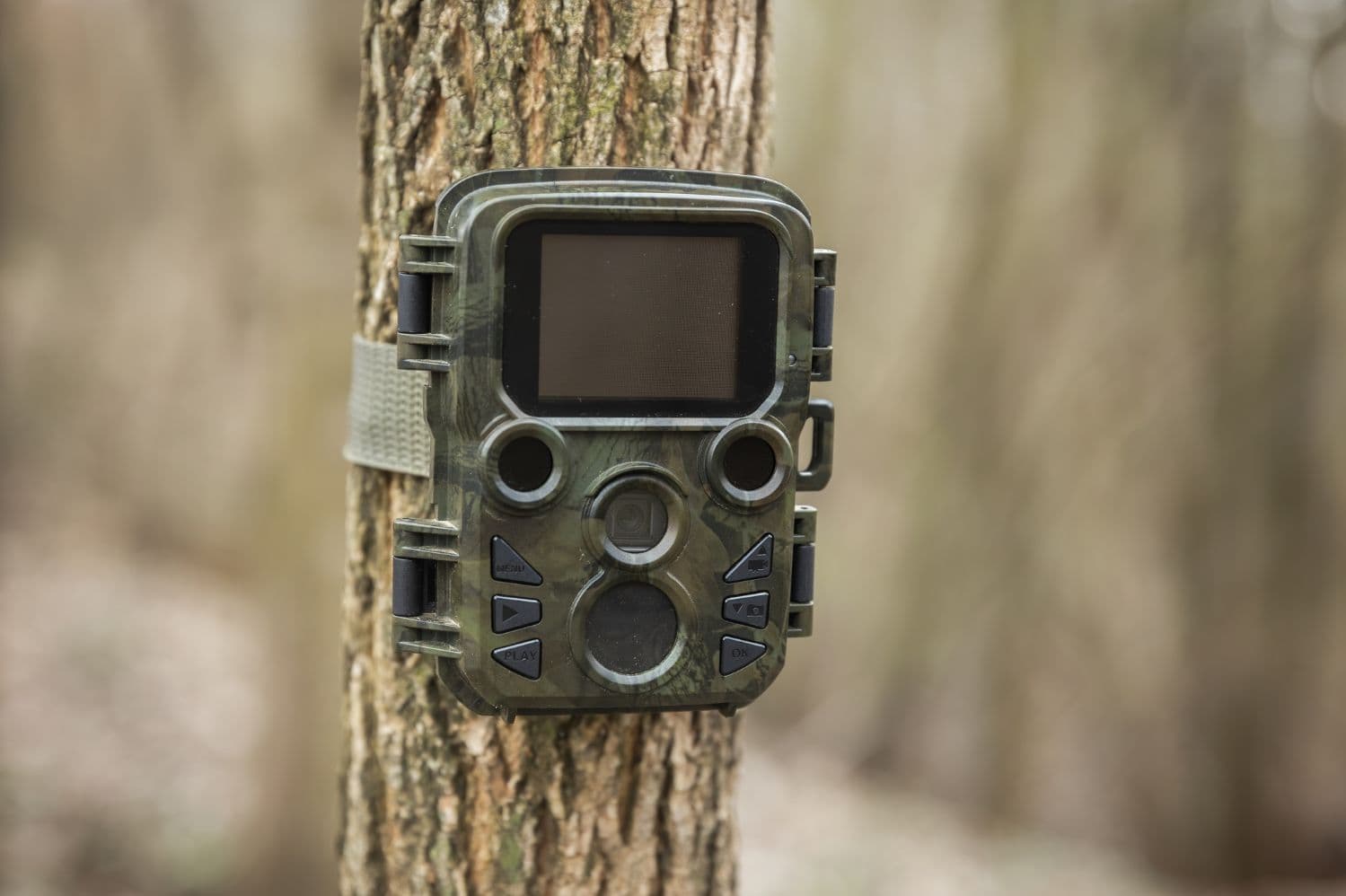
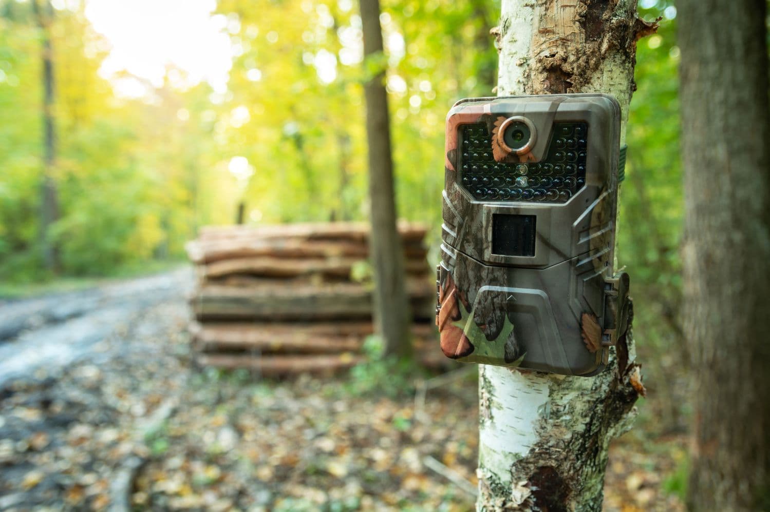
This technology backbone ensures that every action taken through our platform contributes to measurable environmental and social outcomes. By combining advanced sensor networks, AI-powered threat detection, and real-time monitoring capabilities, AfriSens creates a comprehensive ecosystem management system that supports sustainable development and conservation efforts across Africa.
Regen Safirio
Africa
Ongoing
Click me to copy the sharable link
Shared 0 times
For receiving our news and updates in your inbox directly.